
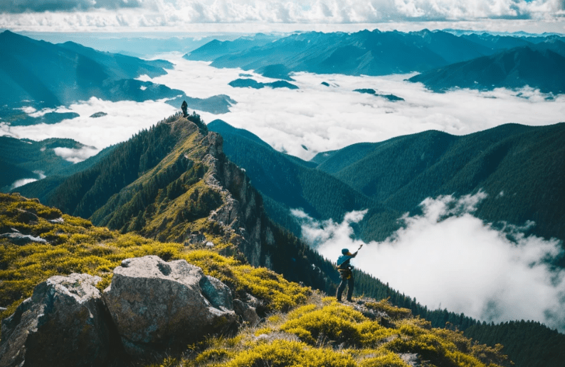
Let me tell you something most folks won’t: South Dakota is a sleeping beast.
People think of it as flat prairie, Mount Rushmore, maybe some bison and cornfields. But if that’s all you know, then you’ve never laced up your boots and walked into the Black Hills with a pack on your back and silence all around you — the kind of silence that tells you you’re not at the top of the food chain anymore. Hiking Trails: South Dakota Hiking Trails
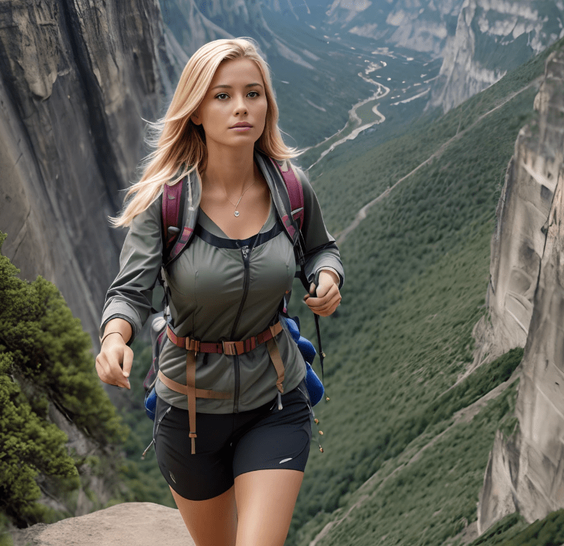
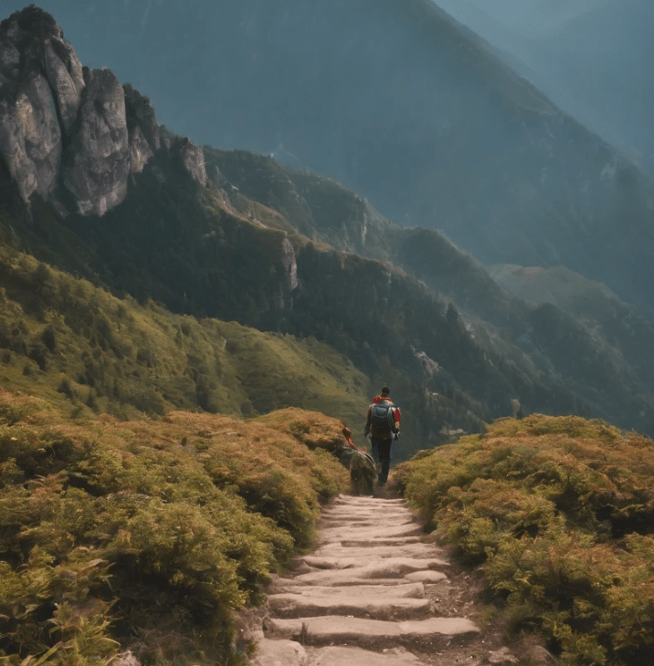
As someone who lives and breathes survival prepping and lives for the long, lung-burning hikes most people quit halfway through, South Dakota has earned my respect — and that’s saying something. The terrain may look tame from the road, but step off the trailhead and you’ll find out quick that this state has teeth.
Flash storms, rattlesnakes, sheer drop-offs, wildfire zones, and terrain that will chew up the soft and spit them into ravines. Some of these trails are so remote, you could break a leg and wait two days before another human stumbles across your body. That’s real. That’s why I don’t hike without a first-aid kit, survival knife, paracord, and enough water filtration gear to last me a week in case I get pinned down by a storm or worse.
So if you’re itching for the truth — the real truth — about South Dakota’s wildest, most treacherous hiking trails, you came to the right place. This isn’t some Instagrammable “top 10 list.” This is the rundown from someone who has walked them, sweated through them, and seen what happens when the land doesn’t care if you make it back.
⚠️ The Top 20 Most Treacherous Hiking Trails in South Dakota
By someone who hikes to survive and survives to hike.
1. Harney Peak (Black Elk Peak via Norbeck Trail)

Location: Black Hills National Forest
Length: ~7 miles round trip
Why it might kill you: Steep ascents, unpredictable weather, and altitude exposure at 7,242 feet — South Dakota’s highest point.
2. Cathedral Spires Trail
Location: Custer State Park
Length: ~1.5 miles one-way
Why it might kill you: Sharp rock formations, loose gravel, and narrow ledges. One wrong step and you’re toast.
3. Black Elk Wilderness Loop
Location: Black Hills
Length: 12–13 miles
Why it might kill you: Remote wilderness, poor cell reception, aggressive wildlife. No shortcut out.
4. Lover’s Leap Trail
Location: Custer State Park
Length: ~4 miles loop
Why it might kill you: Misleading name. Slippery when wet, cliffs at the overlook, and rattlers near the trail.
5. Sunday Gulch Trail
Location: Sylvan Lake
Length: ~4 miles loop
Why it might kill you: Boulder scrambles, creek crossings, and slick footing. One of the most physically demanding short hikes in the state.
6. French Creek Natural Area Trail
Location: Custer State Park
Length: 12 miles one-way
Why it might kill you: Wild bison territory, river crossings, and deep isolation. Bring a topo map — the trail markers vanish.
7. Crow Peak Trail
Location: Black Hills National Forest
Length: ~7 miles
Why it might kill you: Bears, blowdowns, and rapid elevation gain. Wind gusts on the peak can knock you flat.
8. Hell Canyon Trail
Location: Black Hills
Length: ~5.5 miles
Why it might kill you: Heatstroke danger in summer, rattlesnakes along the trail, and some dicey ledges.
9. Buzzard’s Roost Trail
Location: Near Rapid City
Length: ~3.5 miles
Why it might kill you: Popular with mountain lions in off-seasons. Bring your situational awareness.
10. Badlands Notch Trail (includes Saddle Pass & Castle Trail)
Location: Badlands National Park
Length: Varies, up to 10 miles combined
Why it might kill you: Extreme heat, disorienting terrain, and sudden drops. Water is life — and it’s scarce.
11. Sheep Mountain Table Trail
Location: Badlands National Park
Length: ~4.5 miles
Why it might kill you: Remote and exposed with unstable cliff edges. No shade, no water, no mercy.
12. Bear Butte Summit Trail
Location: Bear Butte State Park
Length: ~2 miles
Why it might kill you: Lightning magnet in storms, sacred land (respect it), and steep, wind-exposed switchbacks.
13. Centennial Trail (Full Thru-Hike)
Location: Wind Cave to Bear Butte
Length: ~111 miles
Why it might kill you: Long-distance isolation, dehydration risks, and rugged elevation changes. Not for first-timers.
14. Little Devils Tower Trail
Location: Custer State Park
Length: ~3 miles
Why it might kill you: Rock scramble at the summit. One misstep, and it’s a long, hard fall.
15. Willow Creek Trail
Location: Black Hills National Forest
Length: ~2.5 miles
Why it might kill you: Hidden by dense pine, easy to lose trail. Mountain lions are active here.
16. Medicine Root Loop
Location: Badlands
Length: ~4 miles
Why it might kill you: Exposed sun, badlands terrain tears up boots, no water access. Bring electrolytes or regret it.
17. Poet’s Table (Unofficial Trail)
Location: Black Hills
Length: ~2 miles (off-map)
Why it might kill you: Not on official maps. Off-trail scrambling, private property risks, and zero rescue access.
18. Cold Brook Canyon Trail
Location: Wind Cave National Park
Length: ~1.5 miles
Why it might kill you: Tall grass hides snakes and burrows. Bring gaiters and watch your step.
19. Rankin Ridge Trail
Location: Wind Cave National Park
Length: ~1 mile
Why it might kill you: Looks easy — until a sudden storm rolls in. Lightning strikes here often.
20. Savoy Trail System (Roughlock Falls to 11th Hour Gulch)
Location: Spearfish Canyon
Length: Varies
Why it might kill you: Ice patches in shoulder seasons, rockfall, and flash flood zones. Check weather before you go.
🧭 Survival Musts for South Dakota Trails
If you’re planning to hike any of these bad boys, don’t be a fool — prep like your life depends on it. Because out there, it might.
My Go-To Loadout:
- Water filter pump + backup iodine tabs
- Fixed-blade knife with fire-starting capability
- Metal canteen (boil water ready)
- Snake bite kit + full trauma-first aid
- Survival bivvy + mylar blanket
- Topo map, compass, and backup headlamp
- Beef jerky, nuts, electrolyte packets
- Bear spray + whistle
- Lightweight tarp (shelter or emergency signal)
South Dakota may not be Alaska, but it doesn’t have to be. A six-mile trail can turn into a survival situation fast if the weather shifts or your ankle rolls 3 miles from help. Be ready, and you’ll walk away stronger. Come in cocky, and the land will teach you some hard lessons.
