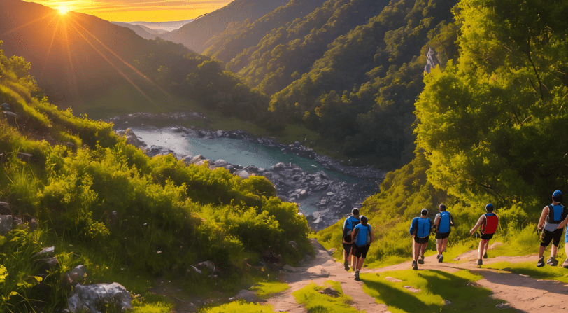

Hiking in Colorado? These Trails Are Beautiful, But Brutal—Proceed with Caution
By A Survival Prepper Who Packs Smart and Hikes Hard
I love Colorado. I love the smell of pine in the morning, the sound of my boots crunching on alpine gravel, and the way the wind cuts like a blade above treeline. There’s nowhere on Earth quite like it. The Rockies are sacred ground—but they’re also merciless.
I’m a survival prepper, not a doomsayer. I don’t fear the wild—I respect it. And if you’re hiking in Colorado thinking it’s just another Instagram opportunity or a “wellness walk,” you’re flirting with tragedy. The elevation is real. The storms are real. And the consequences? Very real.
Whether you’re chasing 14ers or deep-woods solitude, these 20 trails in Colorado will test your endurance, awareness, and survival mindset. Beautiful? Absolutely. But they’ll chew you up and spit you out if you let your guard down.
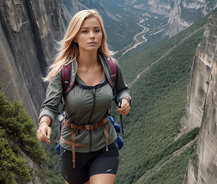
Top 20 Most Brutal—and Beautiful—Hikes in Colorado
- Camping Sites: Colorado Parks and Wildlife
- Weather: Colorado Weather Service
- Hiking Trails: Colorado Trail Explorer
- Road Conditions: COTrip
1. Longs Peak via Keyhole Route – Rocky Mountain National Park
A classic Colorado 14er. Don’t let the popularity fool you—this trail kills people. Exposure, rockfall, ice, and exhaustion take out the overconfident. If you’re not off the summit by noon, you’re playing with lightning.
2. Capitol Peak
The infamous Knife Edge is no joke. One misstep and you’re gone. This is elite-level hiking, bordering on mountaineering. Leave your fear at the trailhead—or don’t bother going.
3. Maroon Bells – South Maroon Peak
They’re not called the “Deadly Bells” for nothing. Rotten rock, unpredictable weather, and poor route-finding lead to frequent fatalities. These are for seasoned peak-baggers only.
4. Mount Elbert
Highest peak in Colorado—sounds like a bucket list item, right? Sure, but the altitude will wreck you if you’re not acclimated. AMS (acute mountain sickness) has turned many back—or worse.
5. Sky Pond via Glacier Gorge
Stunning lakes, waterfalls, and alpine beauty. But it includes steep scrambles and iced-over rock most of the year. People fall here every season.
6. The Decalibron (Mount Democrat, Cameron, Lincoln, Bross)
Four peaks in one hike—but you’re high, exposed, and often underestimated. Bross is technically closed, but people still hike it. Winds can knock you clean off your feet.
7. Bear Peak via Fern Canyon – Boulder
Short doesn’t mean safe. This is a brutal vertical grind with loose footing. Combine that with blazing summer sun, and you’re sweating bullets in no time.
8. Mount Bierstadt & Sawtooth Ridge
Bierstadt is beginner-friendly—until you add the Sawtooth Ridge. Then it becomes a risky class 3 scramble with bad weather, worse footing, and real falls.
9. Conundrum Hot Springs – Aspen
A stunning soak at 11,200 feet sounds great until you realize the 17-mile round trip and altitude gain wreck unprepared hikers. And search & rescue doesn’t come cheap.
10. Mount Sneffels – Ouray
It’s as photogenic as it is dangerous. Loose scree fields, sudden shifts in weather, and high elevation make this hike a trap for those who think it’s “just another 14er.”
11. Chicago Basin (Eolus, Sunlight, Windom Peaks)
You want remote? Try a long train ride, a brutal hike in, and then technical summits. Lightning strikes here are frequent and deadly. Rescue access? Minimal.
12. Hanging Lake Trail – Glenwood Canyon
Short and steep, with plenty of tourists pushing their limits. It’s closed often due to fire or rockfall risk—and people ignore closure signs and get hurt.
13. Holy Cross Ridge – Mount of the Holy Cross
This hike is longer and harder than it looks. The descent into the basin before climbing up again is soul-crushing—and summit fever makes people push past safety limits.
14. Mount Wilson & El Diente Traverse
Highly technical, exposed, and remote. Not a casual hike by any stretch. The ridge traverse is infamous for mistakes that end in fatalities.
15. Blanca Peak via Lake Como Road
Even reaching the trailhead is a 4×4 test. The hike itself is steep, remote, and high. Lightning, dehydration, and fatigue are your constant enemies.
16. La Plata Peak
Don’t be fooled by its “easier” 14er reputation. The switchbacks are brutal, and weather rolls in fast. People get caught every year without proper layers.
17. The Incline – Manitou Springs
It’s only a mile… straight up. Over 2,700 stairs gain nearly 2,000 feet. Heatstroke, cardiac events, and falls are frequent. Treat it with the respect of a high-altitude challenge.
18. Black Canyon of the Gunnison – Inner Canyon Routes
This isn’t hiking—it’s route finding in a vertical labyrinth of loose rock and sheer drops. Permits are required for a reason. Many don’t make it back up.
19. Ice Lakes Basin – Silverton
Gorgeous, but you’re at elevation the whole time. Storms explode out of nowhere. There’s a reason they shut this area down after wildfires—trail conditions can change fast.
20. Lost Creek Wilderness Loop
Don’t let the name fool you—it lives up to it. Remote, confusing junctions, and long miles without water. Navigation here will test your prep skills to the max.
Prepper Rules for Colorado Hiking
Colorado hikes are not “choose your own adventure.” They are missions. Plan like your life depends on it—because it absolutely does.
The Colorado Prepper’s Checklist:
- Map + Compass (GPS dies, signal vanishes)
- Trekking Poles (especially for loose scree descents)
- Layered Clothing (Temps drop 30° in minutes)
- Rain Shell + Gloves + Beanie (Even in July)
- 3L of Water + Filter (Dehydration hits hard above 10,000 ft)
- Electrolytes (Altitude + sweat = cramps)
- High-Calorie Food (Plan for 500+ kcal/hour)
- Headlamp + Batteries (Darkness hits fast in valleys)
- Emergency Shelter or Bivy (A dayhike can turn into a night real quick)
- First Aid Kit + Trauma Supplies
- Whistle + Signal Mirror (Because yelling doesn’t carry far at 13,000 feet)
Mindset Matters Most

Gear’s important. Fitness helps. But mindset is king.
Here in Colorado, people die every year chasing summits they weren’t ready for. They underestimate the trail. They leave late. They ignore the thunder. Or they go solo without telling anyone. And the mountains? They don’t care.
I’ve helped carry people down who didn’t prepare. I’ve watched SAR helicopters fly in after someone’s last bad decision. I don’t want you to be next.
These trails are epic. But they are earned, not taken. Train hard, hike smart, and don’t let the beauty make you forget the brutal reality.
If you want a printable field version of this or an offline survival PDF, let me know. Stay sharp out there. Colorado rewards the bold—but only if they’re prepared.