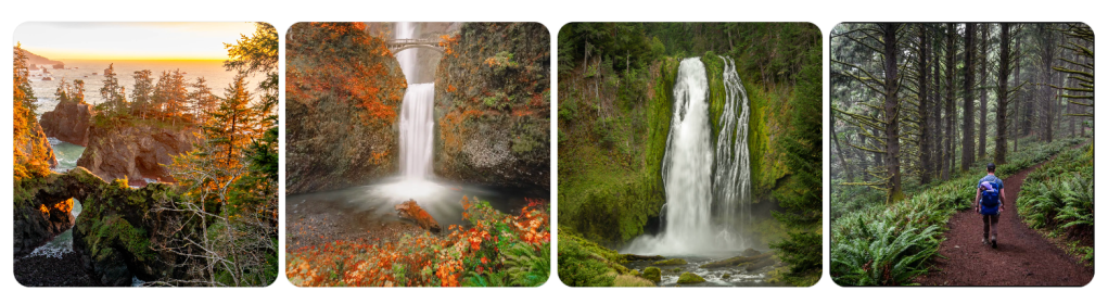

Hiking Trails in Washington: Danger Lurks at Every Turn
By a Survivalist Who’s Seen the Worst and Lives for the Wild
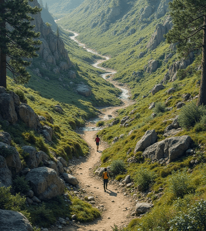
I’ve spent the better part of my life navigating the unrelenting terrain of the Pacific Northwest. Washington State, in particular, is both heaven and hell for hikers. Its beauty? Unmatched. Its danger? Underestimated. Every serene alpine lake or sun-dappled forest you pass could be hiding a deadly twist—slippery shale ledges, rogue bears, sudden whiteouts, or simply the slow fade of hypothermia after a surprise spring snow squall. That’s the double-edged axe of nature: the more breathtaking it is, the more brutal it can be.

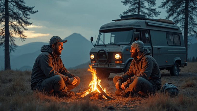
So, if you think hiking in Washington is a walk in the park, think again. You’re entering the lion’s den of terrain where the Earth makes no apologies—and where being unprepared can cost you your life. But for those of us who love to hike with a go-bag and a blade, this is paradise.
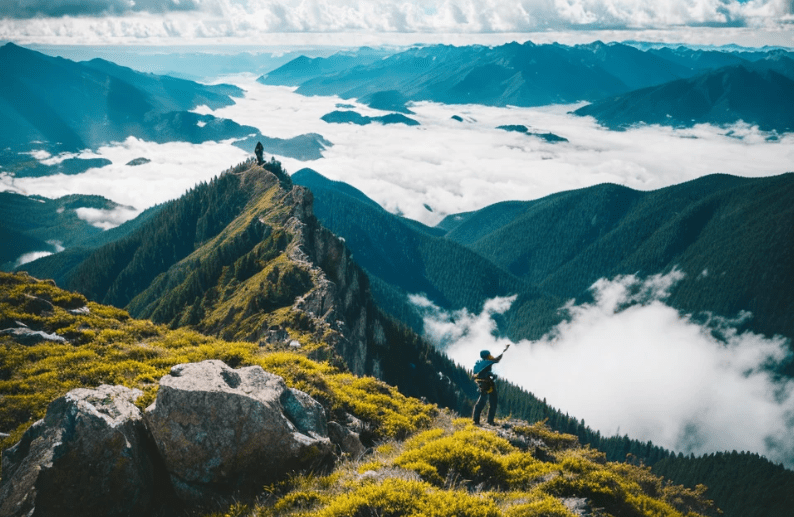
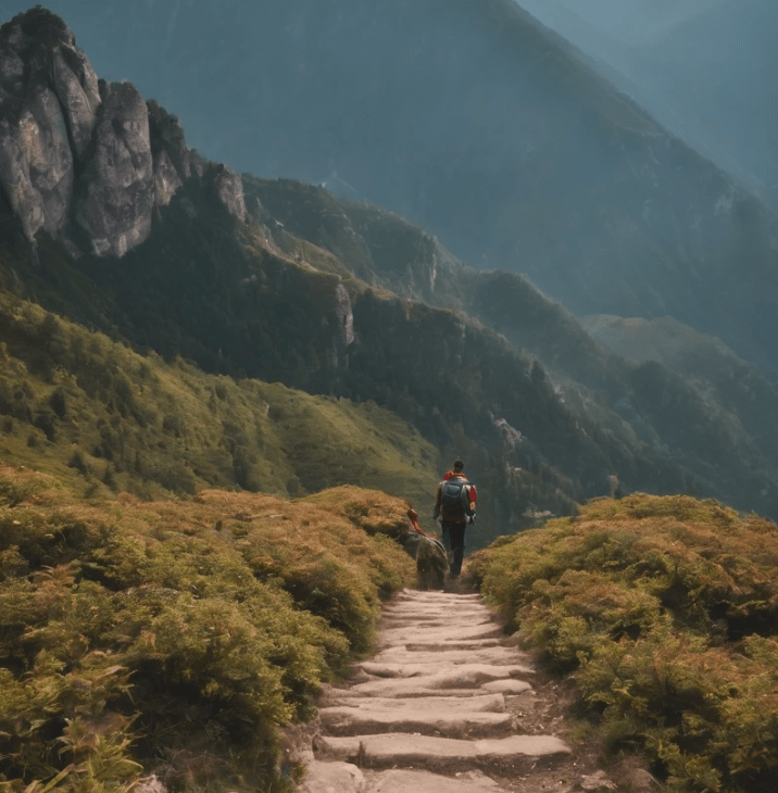
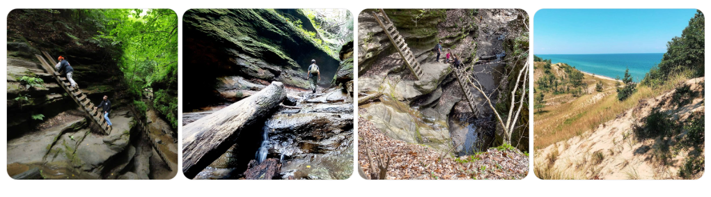
Let me walk you through the top 20 hiking trails in Washington—but understand, these aren’t just trails. These are proving grounds. They’ll either harden you or humble you.
1. The Enchantments – Alpine Lakes Wilderness
You want magic? You’ll get it—with a side of misery. Permit-only and sitting high in the Cascades, this is a jagged gauntlet of granite, goat-tracked paths, and lakes so cold they’ll knock the wind out of your lungs if you dare take a dip. The elevation gain is brutal, and the weather can turn on you in seconds.
2. Mount Rainier’s Wonderland Trail
93 miles of pure punishment circling the beast that is Rainier. Glacier crossings, river fords, and swarms of mosquitoes that feast like it’s their last meal. Bring gaiters, trekking poles, and don’t skimp on the calories. You’ll earn every mile.
3. Colchuck Lake Trail
A gateway drug to the Enchantments. The views? Unreal. The crowds? Thick. But don’t let the Instagram pics fool you—those granite switchbacks bite, and early snow can ice over the trail like glass.
4. Tolmie Peak Trail – Mount Rainier NP
A short but sneaky one. Starts sweet, ends steep. Bear activity is common, and the fog here can be disorienting. If you think 6 miles is child’s play, you’ll learn humility at elevation.
5. Mount Si – North Bend

This is where Seattle’s weekend warriors try to find themselves—and sometimes lose footing. Over 3,000 feet of gain in four miles will test your lungs. Don’t underestimate this mountain just because it’s near the city.
6. Spider Gap – Glacier Peak Wilderness
Snowfields. Stream crossings. Miles from help. This loop is a wilderness crucible, and the views will sear themselves into your soul if the cold doesn’t get you first.
7. Kendall Katwalk – Pacific Crest Trail
A knife-edge trail with sheer drops and rockfalls. The exposure here is real, and if you don’t respect it, you might not come back. Pack layers—the wind cuts like a blade.
8. Rattlesnake Ledge – Rattlesnake Mountain
Short, steep, and tragically popular. The ledge has no guardrails. People have died here. That view over Rattlesnake Lake? Worth it—if you live to tell the tale.
9. Skyline Trail – Paradise, Mount Rainier
Don’t let the name fool you—it’s not all sunshine and lollipops. This loop climbs through snowfields and volcanic terrain. Glacial runoff can flood sections unpredictably.
10. Hoh River Trail – Olympic National Park
A rainforest hike with a quiet menace. Slippery boardwalks, unpredictable river crossings, and more elk and black bears than you’d think. The humidity alone can crush your will.
11. Lake Serene & Bridal Veil Falls
Rockslides are no joke here. A hike of extremes—waterfall spray on your face, then a grueling climb that tests every tendon. The lake is aptly named; the trail, not so much.
12. Mailbox Peak – North Bend
The old route is straight-up Type II fun: brutal, relentless, and demoralizing. You’ll gain 4,000 feet in 2.5 miles. Think you’re tough? Mailbox Peak will verify.
13. Blue Lake Trail – North Cascades
Short, sweet, and slippery. Rock-hopping is mandatory. Wild goats and ice on the trail even in late summer. It’s beautiful, but if you go light on gear, you’ll pay.
14. Ebey’s Landing – Whidbey Island
Looks like a beach walk, feels like a military endurance course when the wind is howling and the tide’s coming in. Cliffside erosion is real—don’t hike too close to the edge.
15. Sourdough Mountain – North Cascades
This trail doesn’t mess around. It’s one of the steepest in the state. A relentless climb with minimal water access. If you’re not ready, this trail will chew you up and spit you out.
16. Mount Pilchuck Lookout
The final scramble can be icy, even in summer. The old fire lookout is worth the trip, but you better have a good headlamp if you linger too long—you do not want to descend in the dark.
17. Goat Rocks Wilderness – Snowgrass Flat to Goat Lake
You’re hiking on a ridge with cliffs on both sides. Goats may look cute, but they’ve been known to charge. Bring bear spray. This trail feels like another planet—and it’ll test your mental game.
18. Cape Alava Loop – Ozette Triangle
The coast is no joke. Tides can trap you, seaweed-covered rocks are slicker than oil, and fog rolls in like a curtain. It’s primal out there. Don’t assume there’s a signal to call for help.
19. Maple Pass Loop – North Cascades
One of the most scenic and most deceiving loops out there. Starts easy, then kicks up with exposed ridgelines and loose scree. One wrong step and you’ll be rolling.
20. Mount Adams – South Climb
This isn’t a hike—it’s an ascent. Glacial travel, crampons, and an early start are non-negotiable. Altitude sickness can hit hard, and you’ll need every ounce of grit to summit and descend safely.
Prepper’s Pro Tips for Surviving Washington’s Wild Side
- Never trust the weather forecast. Mount Rainier can whip up a storm out of clear skies. Always pack for four seasons—even in July.
- Carry more water than you think you’ll need. Filters can fail. Rivers dry up. Dehydration doesn’t care how “fit” you are.
- Bear spray isn’t optional. You’re not just out for a hike—you’re stepping into bear and cougar country. They’re not scared of your trekking poles.
- Tell someone your route. You’re not invincible. I’ve seen SAR teams comb the woods for days over a simple misstep.
- Carry a map and compass—and know how to use them. GPS dies. Phones drop. Analog navigation doesn’t need a signal.
- Boots matter. Don’t wear bargain gear on life-or-death trails. Blisters can become infections fast.
- Know your limits. Pride has put more hikers in body bags than cliffs have. Turn around if it doesn’t feel right.

Washington is a wild one. She’s stunning, yes—but she’s a killer, too. Respect her, prepare for her, and she might just let you glimpse her most secret places. But forget your rain shell, wander off trail, or take her for granted? She’ll remind you who’s boss.
So, lace up, gear up, and pack like your life depends on it—because out here, it just might.