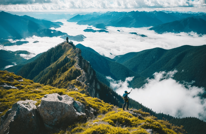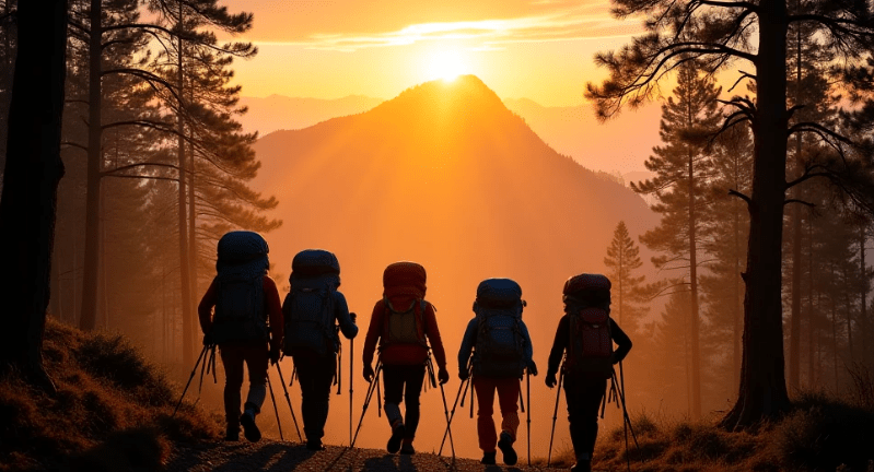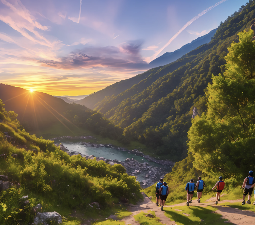

Hiking Trails in Texas: Beauty Hides the Dangers You Can’t Ignore
If there’s one thing a seasoned survival prepper knows, it’s that Mother Nature doesn’t play fair. The land can be beautiful, majestic, and awe-inspiring, but it’s also unforgiving, unpredictable, and at times, deadly. That’s why any hiker worth their salt doesn’t just pack their gear and hit the trail without first considering what dangers lie ahead. And while Texas boasts some of the most stunning hiking trails in the country, they come with their own set of risks. So, if you plan on tackling any of these trails, do it with caution, respect, and preparedness.
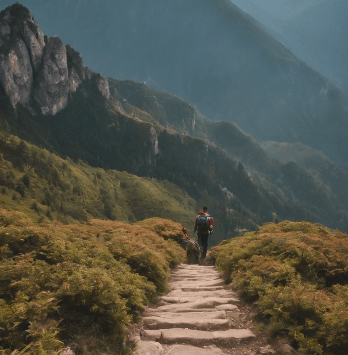
Before we dive into the top 20 hiking trails in Texas, let me emphasize the importance of survival prepping. While these trails can be absolutely gorgeous, it’s critical to remember that Texas is a massive state with diverse terrains ranging from deserts to dense forests. With that in mind, let’s go over a few things that will keep you alive and thriving in the wilderness:
Hiking Trails: Texas Hiking Trails
1. Know Your Terrain

Whether it’s the rocky hills of Big Bend or the swamplands of the Piney Woods, Texas offers many different ecosystems, each with its own unique set of hazards. You need to know what you’re walking into—whether it’s venomous snakes, dehydration risks, or tricky footing on rugged trails. That means researching the trail you’re planning on hiking and paying attention to seasonal changes.
2. Pack Smart
The essentials go beyond just food and water. Pack extra layers, especially in the higher elevations or desert areas where temperatures can fluctuate drastically. A basic first-aid kit, a good multi-tool, fire-starting equipment, a compass (or a GPS device), and a headlamp should be standard items. Don’t forget about sun protection—Texas has plenty of sunny, dry areas where you’ll need more than just sunscreen. Hat, sunglasses, and lightweight clothing that covers your skin are must-haves.
3. Hydrate, Hydrate, Hydrate
Texas can get extremely hot, particularly in the summer months. If you’re out on the trail in temperatures above 90°F, dehydration can become a serious issue. Carry enough water for your entire trip, and if you’re hiking in an area where you can filter water from streams, know how to do so safely. Consider carrying water purification tablets or a filtration system as part of your survival gear.
4. Snakes and Wildlife
Venomous snakes like the Western Diamondback Rattlesnake, Copperhead, and the infamous Coral Snake call Texas home. While these creatures are generally not aggressive, it’s important to stay alert, watch where you step, and be aware of your surroundings. Additionally, keep your distance from larger wildlife, like mountain lions or wild boars, and be cautious when venturing into areas known for these animals.
5. Stay Aware of the Weather
Texas weather is notorious for its unpredictability. A sudden storm can change the landscape, increase flooding risks, or cause hypothermia if the temperature drops too quickly. Be sure to check weather reports before you head out and bring the necessary gear to deal with sudden weather changes. Lightning strikes are a serious threat, so be especially cautious during thunderstorm season.
With those important points in mind, let’s take a look at the top 20 hiking trails in Texas, each offering its own unique beauty and hidden dangers.
1. The Lost Mine Trail – Big Bend National Park

Big Bend is a hiker’s paradise, but it’s also a land that demands respect. The Lost Mine Trail is one of the most popular hikes, offering spectacular views of the desert and the Chisos Mountains. The trail is moderate in difficulty, but hikers should be prepared for steep sections and the hot, dry conditions that can be dangerous in the summer.
2. Guadalupe Peak Trail – Guadalupe Mountains National Park
The highest point in Texas, Guadalupe Peak stands at 8,751 feet. This challenging hike is a must for any experienced hiker, but it’s not for the faint of heart. The steep, rocky trail can be demanding, and the weather can shift unexpectedly. Hikers should carry enough water, wear sturdy boots, and be prepared for high-altitude conditions.
3. Santa Elena Canyon Trail – Big Bend National Park
This 1.7-mile trail offers stunning views of the Rio Grande River and towering canyon walls. The trail is relatively short but does involve some scrambling over rocks, so make sure you have good footwear and be cautious of loose terrain. Remember that temperatures here can soar in the summer months.
4. Window Trail – Big Bend National Park
A relatively easy 5.6-mile trail with breathtaking views of the desert landscape, the Window Trail is a favorite for many. The trail culminates at a rock formation that frames a beautiful view of the desert below. Keep in mind, though, that the heat can be intense, so prepare with plenty of water.
5. Enchanted Rock Summit Trail – Enchanted Rock State Natural Area
Enchanted Rock is a massive pink granite dome that rises 425 feet above the surrounding landscape. The 1.3-mile summit trail is a relatively short but strenuous hike. Be prepared for hot weather, especially during the summer months, and make sure you bring enough water and wear sun protection.
6. Palo Duro Canyon Lighthouse Trail – Palo Duro Canyon State Park
Palo Duro Canyon, the second-largest canyon in the U.S., offers stunning views and diverse terrain. The Lighthouse Trail is a 6.6-mile round trip with a challenging climb at the end. The trail is rocky and exposed, making hydration and sun protection a priority.
7. Caprock Canyons Trailway – Caprock Canyons State Park
This trailway runs 64 miles through remote, rugged terrain, offering a unique Texas landscape. It’s perfect for those looking for a more remote, backcountry experience. Expect isolation, challenging weather conditions, and the possibility of wildlife encounters.
8. Cedar Breaks Trail – Cleburne State Park
A relatively short and easy hike, the Cedar Breaks Trail provides a beautiful view of Cedar Lake and the surrounding forest. It’s an ideal beginner’s trail, but be aware of ticks and poison ivy that are common in the area.
9. Devil’s Waterhole Trail – Longhorn Cavern State Park

This short trail takes you to a hidden waterhole surrounded by rocky terrain. It’s great for swimming, but the steep, uneven trail can be dangerous if not approached with caution.
10. McKinney Falls Trail – McKinney Falls State Park
A popular spot near Austin, this trail is great for a relaxing day hike. With beautiful waterfalls and creek crossings, it’s a favorite for families. However, beware of slippery rocks and the occasional flooding after heavy rains.
11. South Rim Trail – Big Bend National Park
One of the most iconic hikes in Texas, the South Rim Trail offers panoramic views of the desert and mountain landscapes. At over 12 miles, it’s a strenuous hike, so make sure you’re prepared for altitude and temperature shifts.
12. Indian Head Trail – Big Bend National Park
This steep and strenuous trail leads to an incredible vantage point with sweeping views of the Rio Grande River and the surrounding desert. Be sure to pack sufficient water and take breaks, as the ascent can be challenging.
13. Hill of Life Trail – Barton Creek Greenbelt
For a more urban hiking experience, this trail offers a scenic route along Barton Creek. It’s a moderate hike with rocky terrain and some creek crossings. The trail is popular among locals, so it can get crowded during weekends.
14. Backbone Trail – Government Canyon State Natural Area
This 10-mile trail offers a mix of rugged terrain and scenic vistas. The trail is challenging and requires careful navigation, especially in the heat of summer. Keep an eye out for rattlesnakes and other wildlife.
15. Lick Creek Trail – Lick Creek Park
A peaceful, 2.5-mile loop in College Station, Lick Creek Trail is a great place to enjoy nature without venturing far from town. The trail is mostly flat, but you’ll still need to watch out for ticks and occasional wildlife.
16. Blue Hole Trail – Hamilton Pool Preserve
A short but beautiful hike that leads to the iconic Hamilton Pool, a natural swimming hole surrounded by a waterfall. The trail is easy but can be crowded, especially in the summer months.
17. The Gorman Falls Trail – Colorado Bend State Park
This 1.5-mile trail leads to the stunning Gorman Falls, a hidden gem in the Hill Country. The trail is short but steep and can be slippery, especially during wet conditions.
18. Coyote Trail – Franklin Mountains State Park
For a challenging desert hike, the Coyote Trail provides a rugged experience with sweeping views of the surrounding mountains. Expect steep climbs and rocky footing.
19. Sunset Trail – San Angelo State Park
This moderate 2.4-mile loop offers a peaceful hike with beautiful views of the reservoir. It’s a great option for a short, scenic hike in a less-visited area.
20. Soggy Bottom Trail – Lake Livingston State Park
A 3-mile trail that winds through dense pine forests, the Soggy Bottom Trail can get muddy after rains. Wear sturdy footwear and be cautious of slippery patches.
Final Thoughts

While these 20 trails offer some of the best hiking experiences in Texas, they each come with their own set of challenges and risks. As a survival prepper, the most important thing to remember is that nature doesn’t care about your plans. Stay prepared, respect the land, and hike responsibly. Always know your limits, and never leave home without the essentials—because in Texas, beauty hides the dangers you can’t ignore.